Twilight/Dusk during the polar night, Oldervik, Troms county (Northern Norway). In this region the sun is hidden behind the horizon from from 28 November to 14 January (the video was taken on the 5th of January at 11.30AM).
Dunnet Head (Scottish Gaelic: Ceann Dùnaid) is a peninsula in Caithness, on the north coast of Scotland, that includes the most northerly point of the mainland of Great Britain.
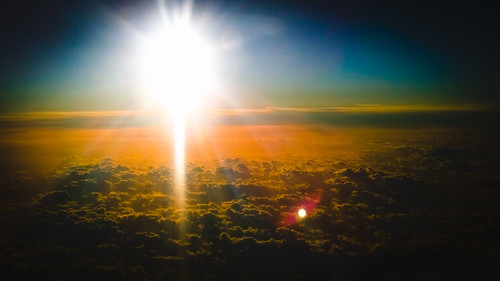
Vágar is the third largest island of the Faroes (after Streymoy and Eysturoy). The island shape is very distinct since it resembles a dog’s head: Sørvágsfjørður is the mouth and the Fjallavatn lake is the eye.
The terrain is less dramatic than that of Streymoy and the northern islands: green valleys, patches of cultivated land around the villages that are clustered on the south coast and dozens of small rivers and streams flowing down the rounded hills. Vágar has vast expanses of untouched wilderness expecially the uninhabited north of the island. The only main road comes from Streymoy through a tunnel and conducts to the main villages. From Sørvágur the view become breathtakingly beautiful with the ocean, the island of Tindhólmur with its peaks and verticality, Gáshólmur and the two drangar (freestanding sea stacks), until the last village, Gásadalur, and the panorama over the mysterious Mykines that is the westernmost of the 18 main islands of the Faroe Archipelago.
The island is the location of the Faroes’ only airport so it’s the first to be seen by the visitors that come from the air. If the weather permits are clearly visible the dramatic vertical cliffs that form the southern edge of the island.
Musics:
No Ceiling – Eddie Vedder
Viva la vida – Coldplay
Fossá, Faroes’ highest waterfall, on the east side of Streymoy.
Connected to Víkarvatn lake high on the hills of the Vatnfelli peak above the road, the Fossá river falls majestically and precipitously from a heigh of about 140 m over two rocky outcrops before passing under the bridge carrying the route 594 and finally reaching the waters of Sundini sound.
Music:
Hans Zimmer – Cornfield Chase (Interstellar Soundtrack)
Exploring north east Iceland: lakes, volcanoes and waterfalls.
[00:01] Mývatn is a lake situated in an area of active volcanism in the north east of Iceland, not far from Krafla volcano. The lake and its surrounding wetlands have an exceptionally rich fauna of waterbirds, especially ducks. The lake was created by a large basaltic lava eruption 2300 years ago, and the surrounding landscape is dominated by volcanic landforms, including lava pillars and rootless vents (pseudocraters). The effluent river Laxá is known for its rich fishing for brown trout and Atlantic salmon.
The name of the lake (Icelandic mý (“midge”) and vatn (“lake”); the lake of midges) comes from the huge numbers of midges to be found there in the summer.
[02:17] Dimmuborgir (dimmu – dark, borgir – cities or forts) is a large area of unusually shaped lava fields east of lake Mývatn. The Dimmuborgir area is composed of various caves and rock formations, remnants of volcanic activity that are perhaps reminiscent of an ancient collapsed citadel, with columns spewing plumes of sulfuric smoke. In Icelandic folklore, Dimmuborgir is said to connect earth with the infernal regions.
[07:56] Goðafoss, the Waterfall of the Gods, is one of the most spectacular waterfalls in Iceland. The waterfall is formed by the water of the river Skjálfandafljót, it is located in the Mývatn district of north-central Iceland at the beginning of the Sprengisandur highland road.
The water of the river falls from a height of 12 meters over a width of 30 meters.
In the year 1000 the lawspeaker Þorgeir Ljósvetningagoði made Christianity the official religion of Iceland. After his conversion it is said that upon returning from the Alþingi, the icelandic parliament, Þorgeir threw his statues of the Norse gods into the waterfall.